
A Gold Star for Silver Star

DATE HIKED:4/13/24
TOTAL MILEAGE: 8 miles
TOTAL ELEVATION GAIN: 5,400’
In early 2018, just after completing my AIARE 1 course I bought the “Backcountry Ski & Snowboard Washington” book and began leafing through the pages and dog-earring tours that looked like fun and adventurous objectives. One tour that immediately stood out to me was Silver Star. It looked wildly scenic and it seemed fun to be able to ski a prominent peak of Washington Pass, but I knew it would take time for me to gain the skills and practice necessary to successfully ski it. Plus the conditions and forecast would need to align. It was a tall order, but this past weekend everything fell into place and Alex, our friend Sander, and I skied 1,500’+ of spring powder from the Silver Star Col!
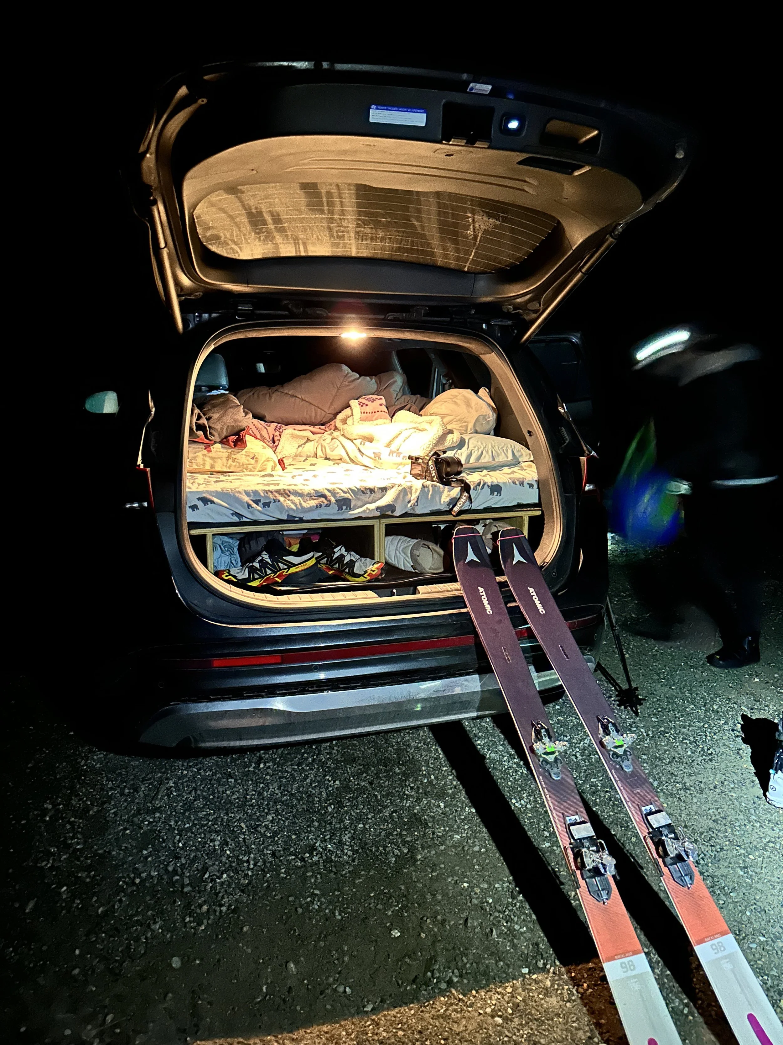
Getting the skis ready at 4am
One important thing to note and clarify that may help others planning their own visit to Silver Star, is that for the past few years I thought in order to ski Silver Star you needed to wait to do so until Highway 20 fully opened in the spring, but I was mistaken. In the winter, the gate is usually open from the east side all the way to Silver Star Creek. Only in times of heavy snow does the road close further back. So I spent multiple years thinking this tour was out of the question in the winter months unless we had a snow mobile or heli skied (it’s a popular route of North Cascade Heli guides). The drive from Seattle to Silver Star Creek is five hours, but if it meant we could go slightly earlier in the season and avoid the throngs of people that arrive when Highway 20 opens then we decided it would be worth it.
So on Friday afternoon we packed our gear, loaded our sleeping platform in the car, and met Sander at the Mercer Island Park and Ride and began the long journey to the mountains.
We arrived to the trailhead lot in the dark at 8:45pm and found two other vehicles already parked. Sander got to work setting up his tent near our car and we assembled our sleeping platform. We set our alarms for 3:45am and headed to bed to try to eke out as much sleep as we could before our 3:45am wakeup call.

The main concern we had for the day was how hot it was forecasted to be. The high was going to be ten degrees warmer than it had been in weeks which meant wet loose avalanches were a big worry, especially if they triggered a layer deeper in the snowpack. To help mitigate the risk we made a few decisions. First, we picked a north facing objective that would be shaded for most of the morning. Second, we planned to be up and down off the highest point of the mountain by noon at the latest. With a 5,500’ climb ahead of us that had a reputation for tricky route-finding through the forest (in the dark no less!), we estimated seven hours to the top. Working backwards that meant we needed to start moving by 4:30am.
While wet loose avalanches were a main concern, a more minor concern was the lower forested section of the trail. A wildfire scorched this area in the past, leaving a swath of dead trees and blow downs in its wake. Without snow this can be an extremely tough section, requiring hopping over logs and going around endless downed trees, trying to pick a path through the tangle of forest. Covered in snow, this section was slightly easier but we still moved slowly in the dark.


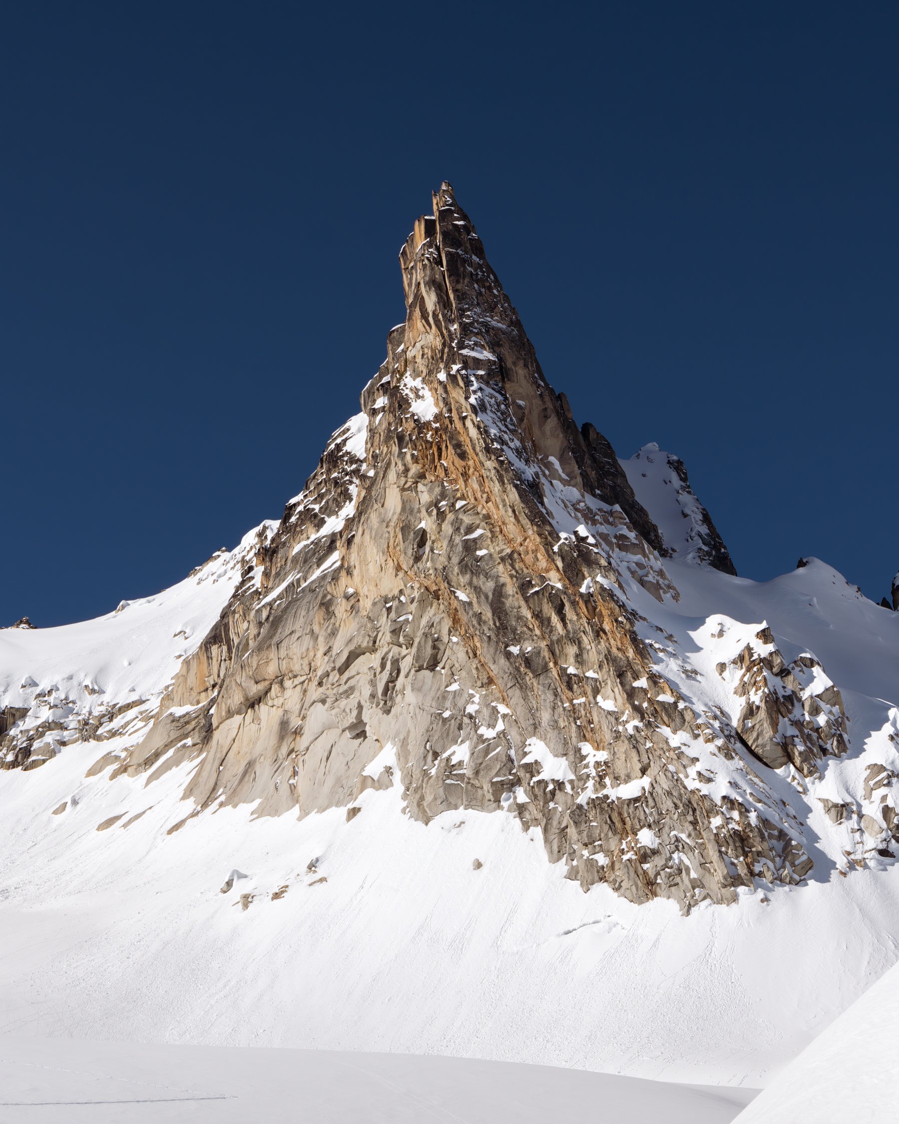
Alpenglow on Silver Star, the ski route is front and center in the frame
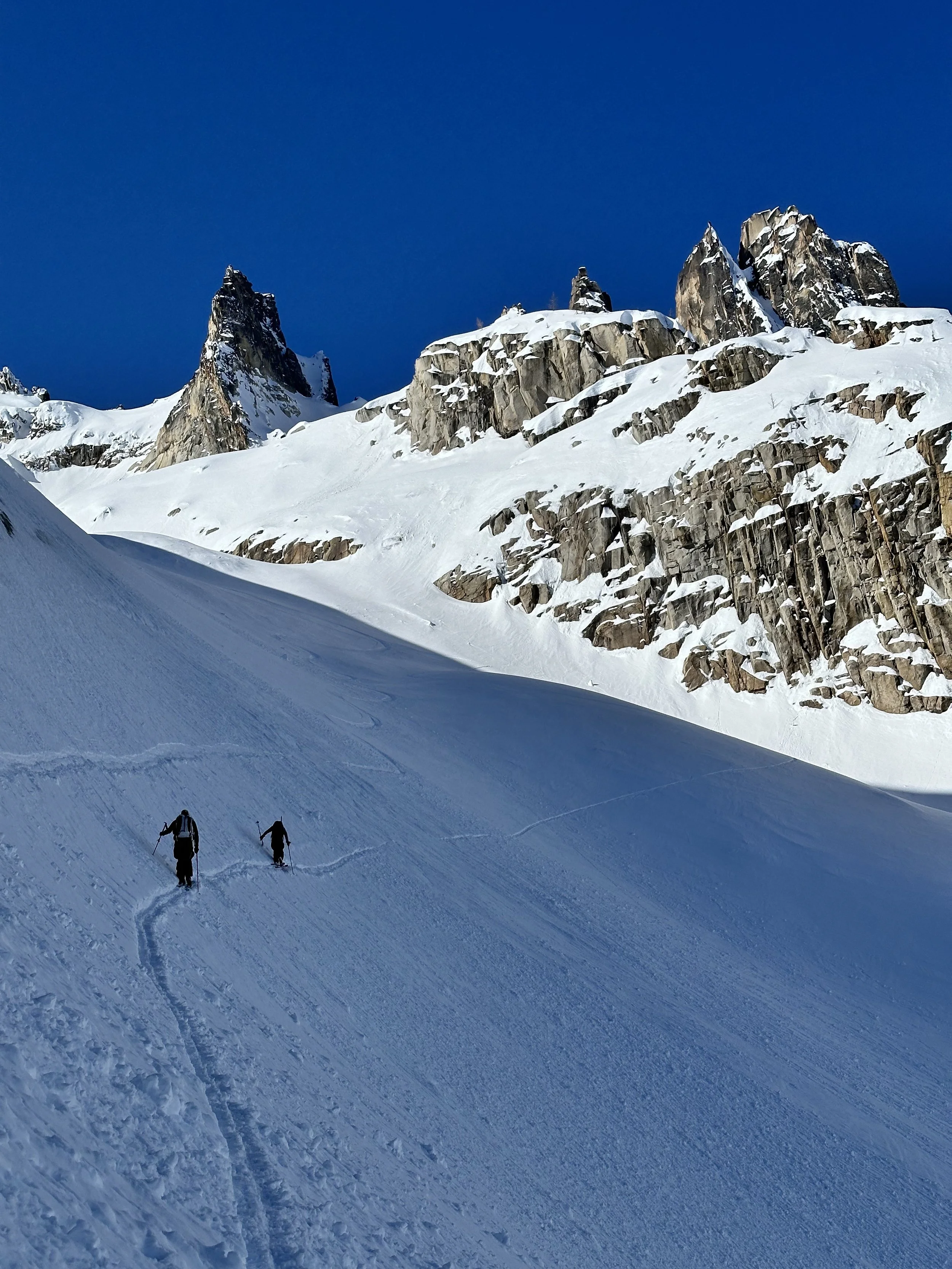
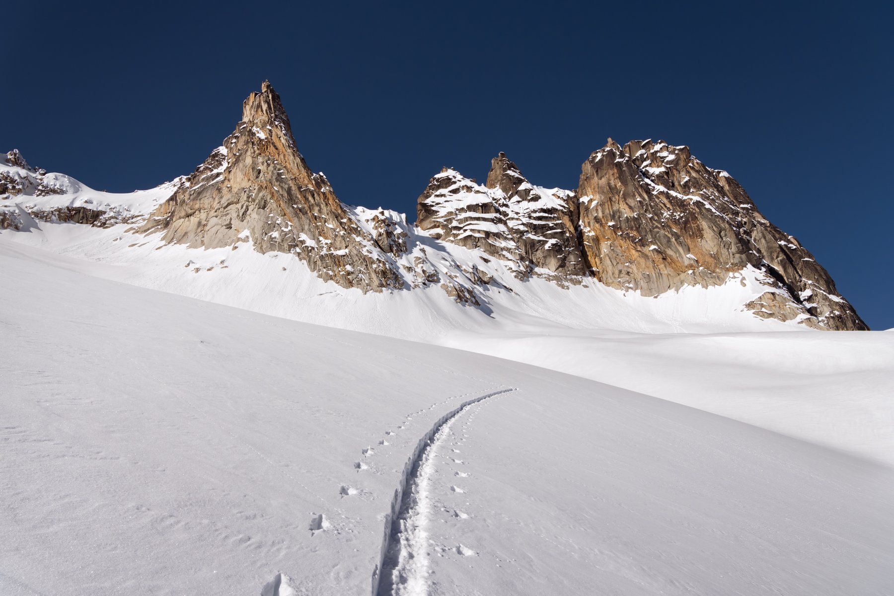
At 4,400’ we crossed Silver Star Creek on a solid snow bridge and began climbing toward illuminated rocky mountain faces above us. We broke out of the forest for a brief time just as alpenglow bathed the mountains in a brilliant shade of pink. From our vantage point, we also spied our route for the first time. Even from a distance we would see two beautiful sets of ski tracks and a solid looking skin track that zig-zagged all the way to the col. It buoyed our spirits just before they plunged again as we headed up an icy, steep section of the forest that tested both the grip strength of our skins and the edges of our skis.

At 8:30am we left the forest behind and began crossing undulating slopes dotted with naked larch trees. It was a beautiful sight and a relief to be out in the open for the remainder of the climb.

The icy high traverse through the gulley
While most of the line we planned to ski was still in the shade, nestled deep on the northern slopes, the eastern and southern aspects of the mountain were beginning to shed. Every ten minutes or so we’d hear a clatter of rockfall or the whoosh of cascading snow peeling off the mountain faces and quickly whip our heads around, trying to find the source of the sound.
We hurried on.
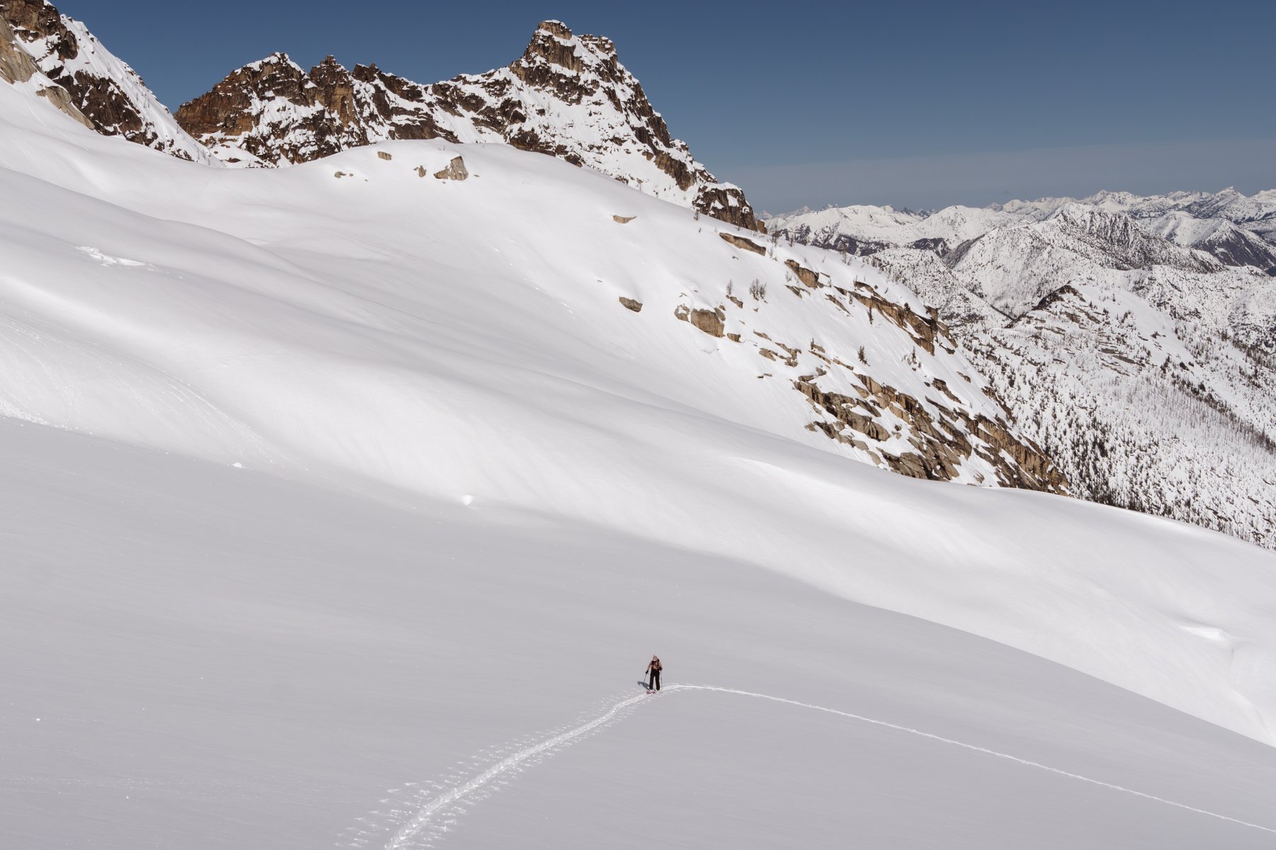
The gully between 6,800’-7,200’ was the worst part of the climb for me. We took a high route along a steep and icy slope that traversed through refrozen wet loose avalanche debris. I put on ski crampons for this section but they seemed to be of little help as I inched my way across the slick slope. One of my biggest weaknesses in the mountains is traversing steep, icy slopes on skins. Typically I want to immediately switch to my comfort zone of booting, but I’ve been forcing myself to keep skinning as practice.
Finally, we made it to the final push and to our surprise the snow felt great. The upper reaches of the mountains near Washington Pass received up to a foot of snow earlier in the week and while I was cautiously optimistic, I tempered my expectations just in case.
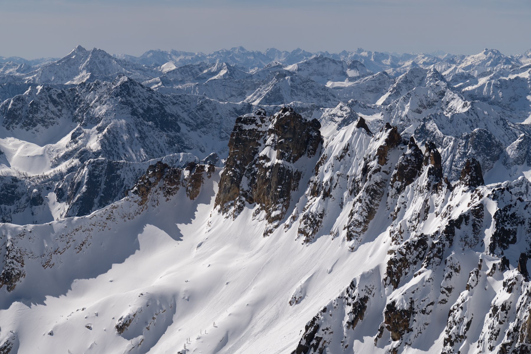
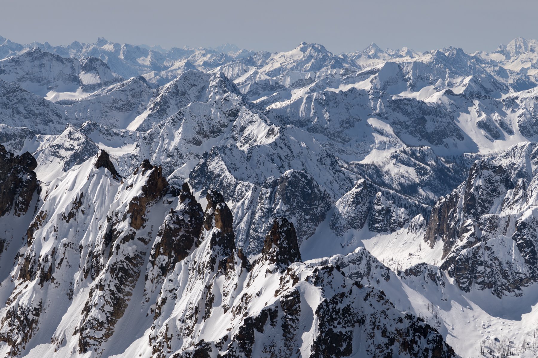
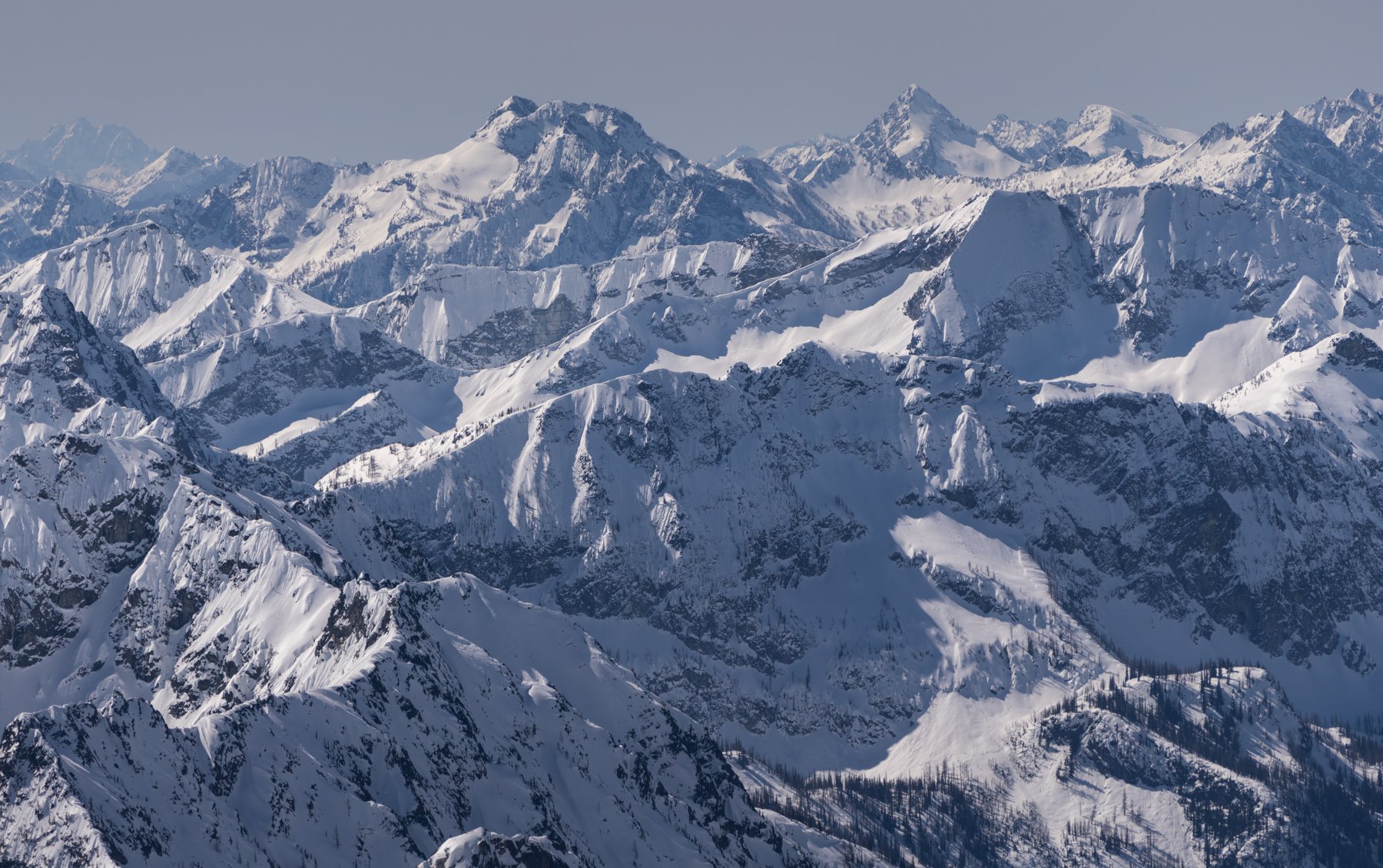
We skinned all the way to the col and arrived at 11:15am, right on schedule. From the col, the true summit is another couple hundred foot scramble, but the route looked tough in the snow and scrambling in ski boots didn’t seem appealing. Instead we took a quick moment to appreciate the endless sea of peaks to the south before starting to transition for the ski down. The southern and eastern aspects were still shedding snow at random intervals, which was unnerving, but our ski line had only just been graced by the sun’s first rays and the snow was still powdery.
One by one, we skied down what might have been the best snow I’ve ever skied in the backcountry. It was spring powder—glorious spring powder! Sander led the way and whooped and hollered all the way down.
We skied two continuous lines down to 7,000’ and had the time of our lives. All of the toil and fear and stress of the approach vanished into a puff of snow behind my skis.

Unfortunately, the route back to the car wasn’t as straightforward as we anticipated. It required another transition to skinning (something I hate doing at the end of a ski tour), and even worse, the lower forested section had turned into a sloppy mess over the course of the morning. It was virtually unskiable. 500’ above the road we put our skis on our back and tried to find a continuous line of dirt to walk on, but inevitably we’d end up back on snow that had grown so wet and rotten in the sun we’d sink to our thighs every other step. Those last few hundred feet were painful and frustrating but at 2:30pm we hit pavement again. 10:04 had elapsed on my watch.
Back at 3,500’ we were surrounded by spring. Cyclists cruised past, having just rode the closed-to-cars-but-open-to-bikes Highway 20, birds were singing, and the sun happily shined all around us.
This trip was truly spring skiing at its finest. A challenge of an approach + a bluebird day + type-one fun skiing. It doesn’t get better than that. The six year wait was worth it!
****